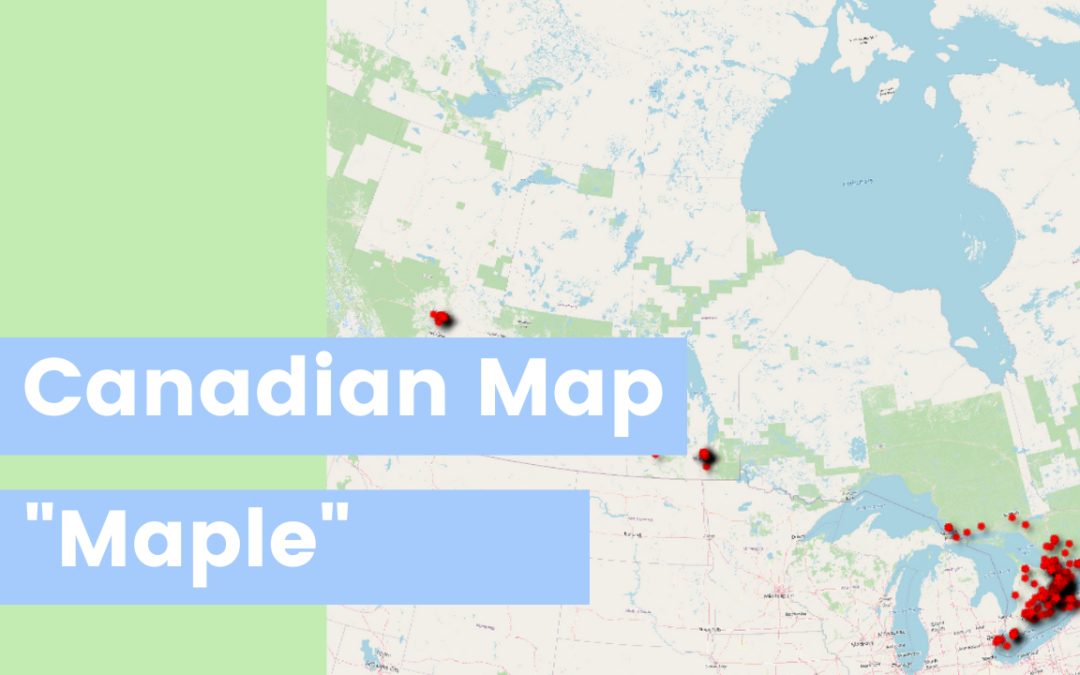
Do you want to make fun map of point of interest using Canadian data? Well let’s make a fun “MAPLE” map using QGIS. This is a great place to start if you want to get started with SafeGraph or QGIS. This works for GIS skill level and a great way to dive into geospatial data.
- Download the data from the safegraph shop
- Load the CSV in QGIS
- Filter the data what you’re interested in. I used: “location_name” LIKE ‘%Maple%’
- Change your symbology!
I’m so thankful that you’re here! I would love to have you come to one of our upcoming Mappy Hour events!
