Geospatial Data Governance is often overlooked because it is not seen as being an important part of a project. Data is flawed. Data has limitations. Data is biased. And to use that data well you need to take the time to document and understand the data.
But… data can propel the world forward when used appropriately. Few teams take the time to document and understand the limitations of their data leading to missing elements in analysis, lost opportunities, and ‘wrong’ answers.
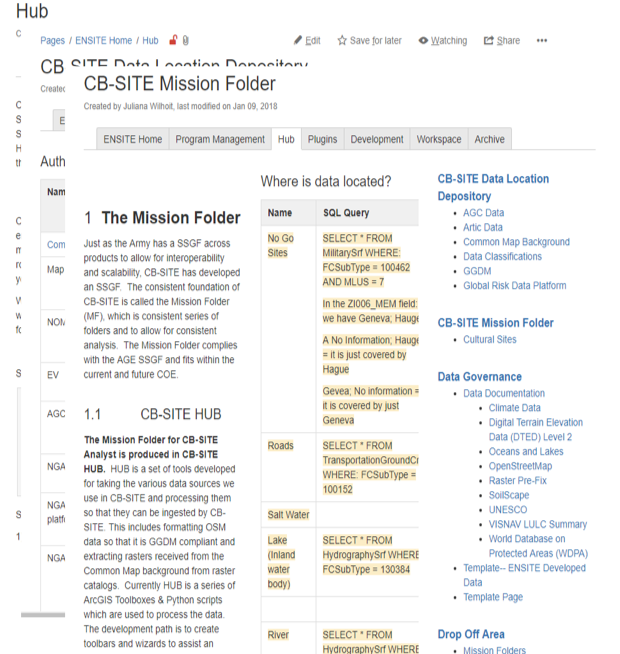
While working for the US Army Corps of Engineers I developed a data governance process. What started as a way to document my own data morphed into a larger role on the ENSITE Project. I developed a unique method for doing data documentation and developed a data warehouse for our team. The needs of our team spanned many disciplines ranging from hydrologic engineering to structural engineers to urban planners. Each team had unique data needs.
I advocated for the use of standard geographic data sources allowing the project to scale to any location on the planet (becoming the first global geodesign product). My role involved the creation of our data structure and schema, the implementation of data governance process, and developing data processing tools. I led a team of 4 FTE.
You can read more about this in the Journal Transactions in GIS