Blog
Taking A Step Back: August 2021 in Review
I am passionate about helping geospatial professionals build a life and career that they love. I love doing that through my one-on-one coaching and through Mappy Hours! I write about things in my life because I want to help you think about crafting an entire life that...
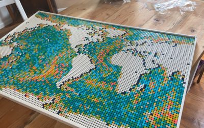
Books to Read As a GIS Analyst
The Geospatial Connections Club is a group of #geonerds who meet weekly on Clubhouse. We meet weekly on the clubhouse platform for a #GISChat. The conversations range on topics related to geospatial/ GIS career development, geospatial tools, and geospatial data....
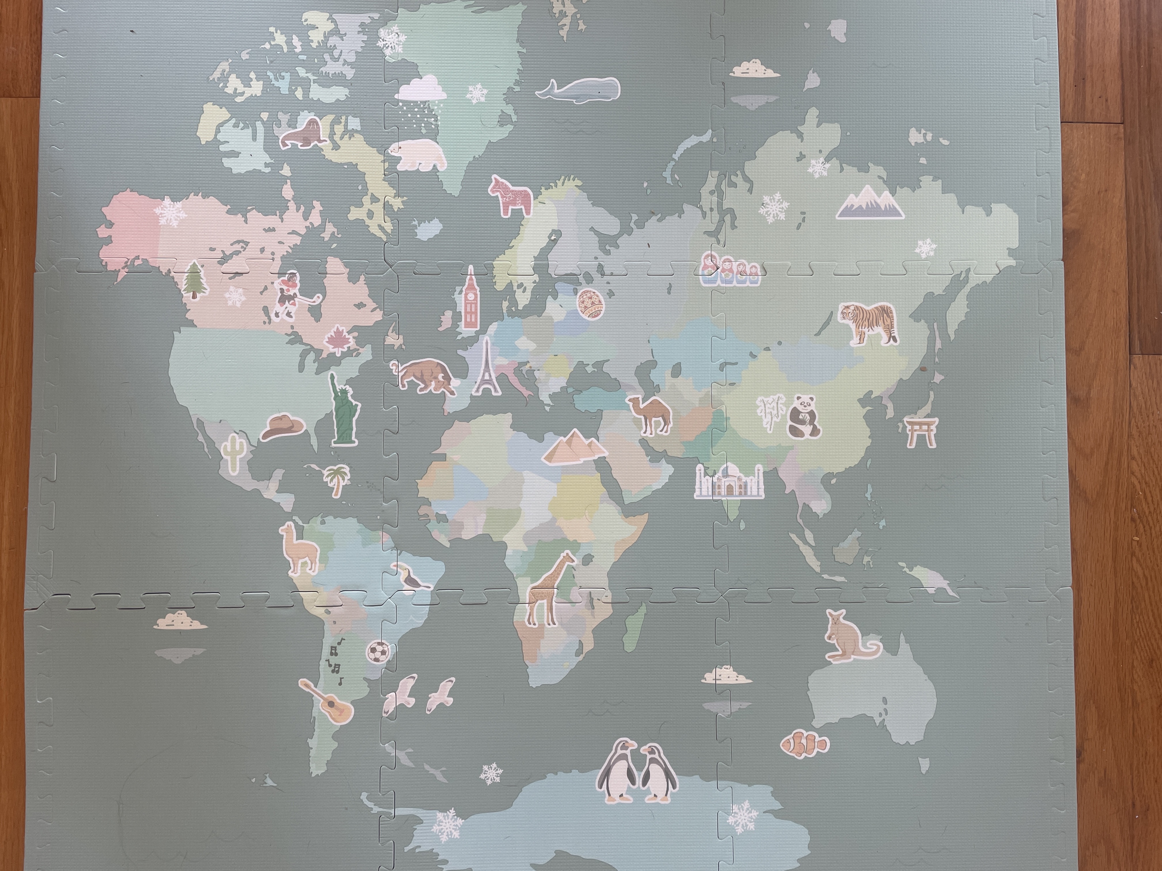
Should Children’s Maps Be Accurate?
For #MapCritqueMonday I want us to look at this kid's play mat. I got this to be a "squishy" map that I can stand on while I work at my standing desk. But this map has so many issues: 🗺️Topology 🗺️Incorrect Geography 🗺️ Projection I don't have kids. But I'm wondering...
Stuck in Your GIS Career Hunt? Here’s how to ask for help from your network
I got an email a few weeks ago from a former student of mine when I taught at North Park University. He wanted to ask for advice on his job hunt. He had a specific question, which made it easier for me to provide a specific answer. Part of his email said: All the...
Is Getting GIS Certified Worth It?
The most frequent question I get asked is "is GIS certification worth it?" Should I get the GISP? Should I get esri certification? https://www.youtube.com/watch?v=GevdyDH-NW8&t=30s Today, I want to share with you my personal experience and the decisions that I've...
How to add ArcGIS Online Map in WordPress
Have you ever struggled with putting content that you've created on ArcGIS Online into a WordPress website? And if you are like many people, you have probably struggled with this as it is not the most obvious thing. And you may want to embed that content, maybe in a...
Why you NEED a GIS Portfolio Right Now!
https://www.youtube.com/watch?v=rznI3s0yYws&t=18s As a GIS/ Data Analyst, you need a portfolio, even if you don't want to change jobs. In this blog post, I will walk you through THREE different ways that you can use a GIS portfolio to help you navigate your...
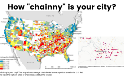
How Chainny Is Your City #MapCritiqueMonday
How dominant are chains in your city? For the latest in our #MapCritiqueMonday series, we are going to look at a recent mapping project led by Clio Andris, assistant professor of city and regional planning and interactive computing at the Georgia Institute of...
Mapping the Night Sky
One of my first GIS Projects was related to understanding settlement patterns in Northern Uganda post-conflict. As part of that work, we looked into ways to see how the population has changed over time. We ended up doing a manual classification of huts by looking at...